

 SKU: DJI-MVE300M
DJI Mavic 3 Enterprise Multispectral (Universal Edition)
DJI Mavic 3 Enterprise Multispectral (Universal Edition)
In stock
View full details WhatsApp us for inquiries
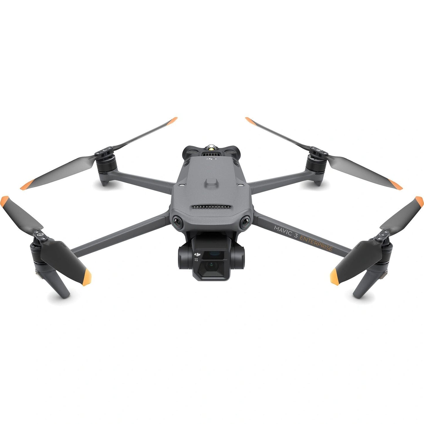
DJI Mavic 3 3 Multispectral (Universal Edition). Efficient aerial surveying needs to reveal the invisible.
That's why Mavic 3 Multispectral has two imaging systems. It brings together a RGB camera with a multispectral unit to scan and analyze crop growth with full clarity.
Agricultural workflow management requires accuracy and data, and Mavic 3M produces both.
Mavic 3M with RTK module for centimeter-level positioning.
Flight control, the camera, and the RTK module sync in microseconds to accurately acquisition the location of each camera's image-capture center.
The design supports Mavic 3M to do high-precision aerial surveying without using terrain control points.
contact us
Visit us
That's why Mavic 3 Multispectral has two imaging systems. It brings together a RGB camera with a multispectral unit to scan and analyze crop growth with full clarity.
Agricultural workflow management requires accuracy and data, and Mavic 3M produces both.
Mavic 3M with RTK module for centimeter-level positioning.
Flight control, the camera, and the RTK module sync in microseconds to accurately acquisition the location of each camera's image-capture center.
The design supports Mavic 3M to do high-precision aerial surveying without using terrain control points.
contact us
Visit us
Key Features
- Compact And Portable
- 4x Multispectral Cameras (G,R,RE,NIR)
- 20MP RGB Camera
- 43 minutes flight time
- Omnidirectional Obstacle Avoidance
- 15km Transmission Distance
- Centimetre-level RTK positioning.
Shop by Categories


Explore other brands


